

Using photogrammetry, we can reconstruct areas for 3D visualization from 2D photographs. We take 4k raw data images that are researched in the Pix4D software where orthophoto, height models, and point clouds are generated.
Geoplan 3D has Ro3 certificate from the Norwegian Aviation Authority.
"As-is" documentation
• Progression report & Situation analysis
• Topographic volume analysis
• Planning
Keep control of the progression and large importing data for later reporting throughout the process using "As-is" drone flight.
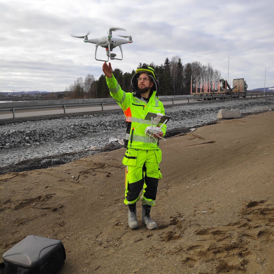
Data Capture
We deliver high-resolution tereng models in all standard formats with CPOS accuracy
• Classified point cloud
• High-resolution orthophoto (TIFF,JPG,ECW)
• Mass calculation
Geometric control of the tereng model against the projected ifc model
Video and documentation
Suitable projects
• Construction, quarrying and mining, civil engineering, road and track projects
• Field monitoring and inspection
• Landfills
Traditionally, terrain modeling has been a person- and time-consuming process. By using terrain measurement and 3D triangulation drones, the geoplan 3D can be able to deliver terrain models to the customer's needs